
Catherine and I have been walking the Norfolk countryside paths and tracks long before the COVID-19 restrictions were introduced. In fact it was Catherine’s idea several years ago, to do regular ‘Friday Night Walks’. These were local routes which were predominately planned around our favourite pubs (to begin and end at the hostelry of choice is still preferred :-). Their aim was to ‘switch off’ after a busy working week (Catherine not me) and to ‘walk into the weekend’.
Nowadays however, these ‘local excursions’ have become more and more limited in range (as I write this article it’s lockdown 3 – February 2021) and of course the pubs are NOT open ATM :-o.
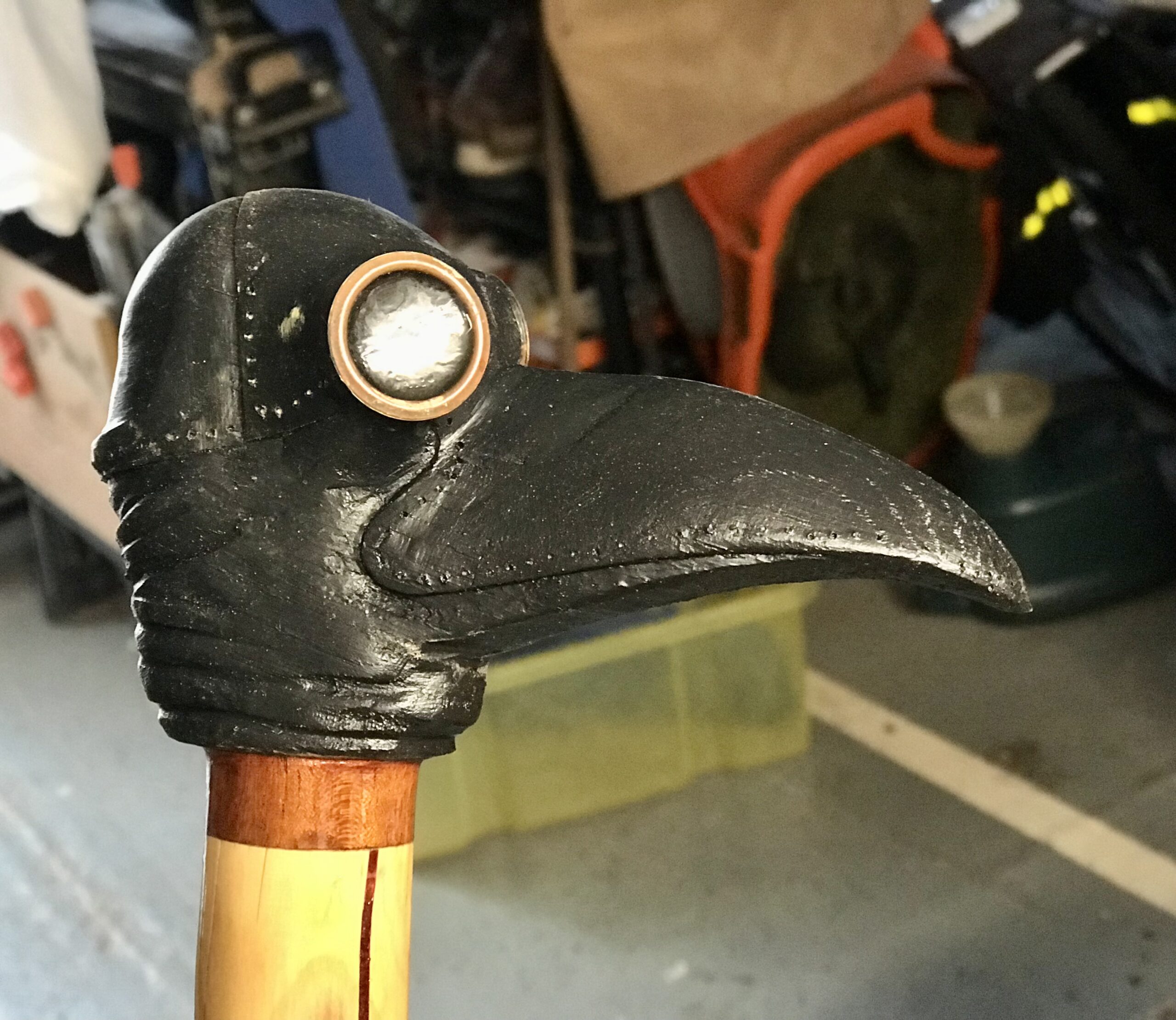
It was whilst walking in the beginning of lockdown 1 (March 2020) when Catherine also suggested that not all of my ‘Facebook friends’ would want to see lovely photos or joyful exclamations of our exercise regime and that’s when I thought of creating this blog! I already owned the domain (inkedwood.co.uk) because of my interest in ‘tattooing’ walking sticks (inking). I realised that the two were obviously connected and decided to used this as my ‘brand’
Since COVID-19 restrictions were introduced in March 2019 one thing we have all been encouraged to do is exercise. Although gyms and swimming pools are closed, along with almost all other facilities, we are still able to get outside and walk (or run). So… with this in mind I have included lots of walks in and around the Terrington St Clement area which are our ‘exercise routes’. Mostly they’re simply walks recorded on my OS Map app or plotted by me to facilitate ‘getting out’ for a few hours (ranging from 3 to 12 miles). I have in fact committed to walk 1000 miles in 2021!! https://www.facebook.com/groups/walk1000miles/
I will also put links here to other ‘pub walks’ and even those sans pub!
The links should open in OS Maps (you should be able to see the route without subscribing to OS Maps) but if you are interested in walking more, I’d highly recommend paying the annual fee of £23.99 to have access to all OS Maps on all your devices including smartphones!). (https://osmaps.ordnancesurvey.co.uk/join)
Here’s the LOCAL COVID WALKS…
16.6 Miles Fen Walk ( I haven’t done this one yet… planned for a nice long day in spring!)
9.5 Miles around Haygreen and Terrington
Balsam Field, Church Bank, Low Rd 5.3 Miles
Optimism 2 (named in the first lockdown :-}
9.5 Miles around Haygreen and Terrington
4.4 Miles Rec/Low Rd/Benns Lane
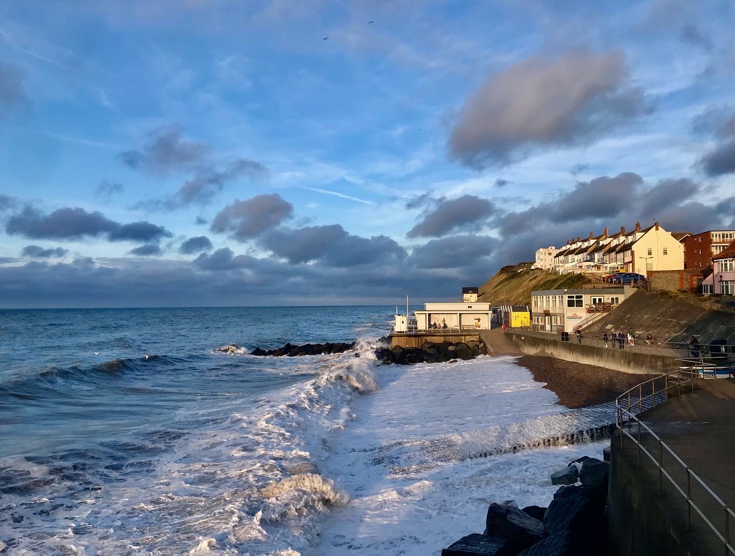
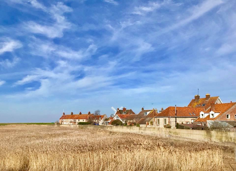
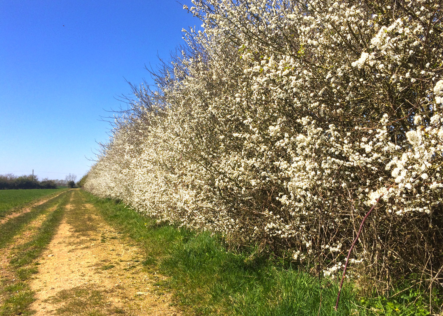
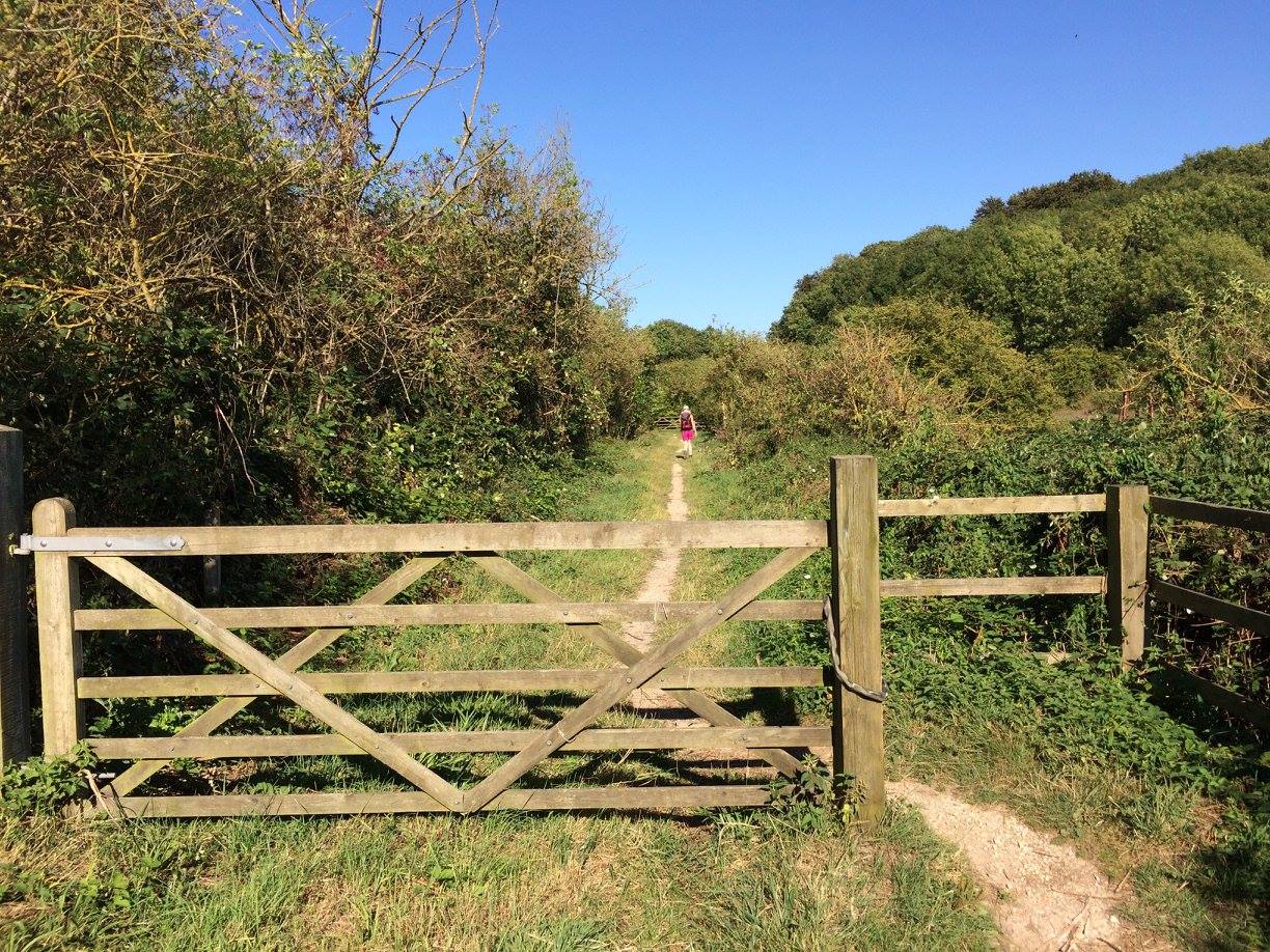
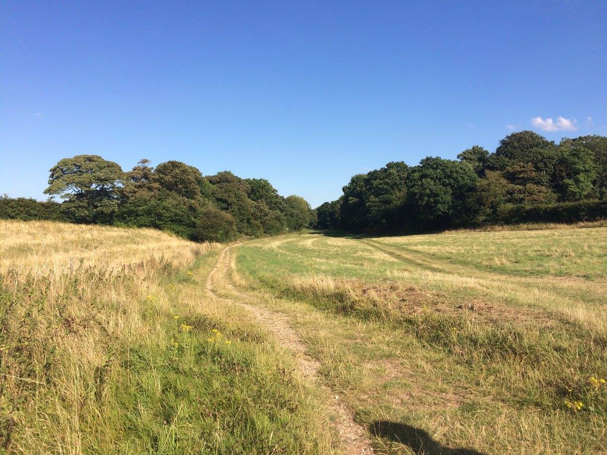
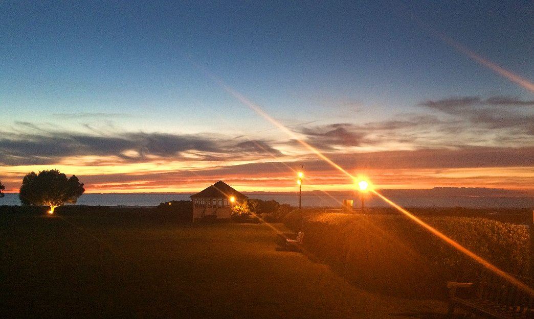
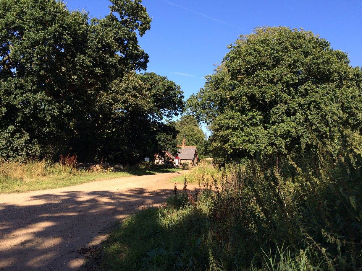
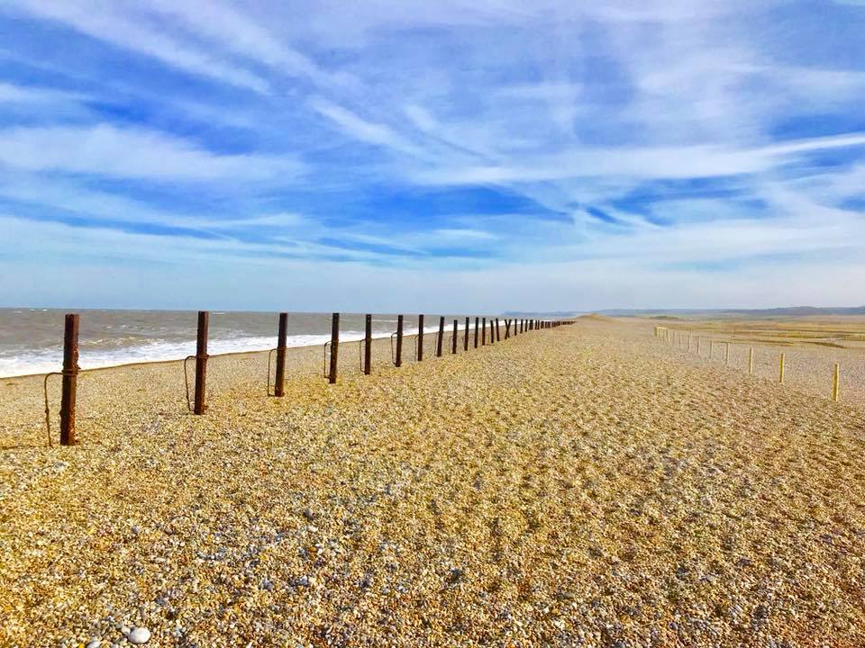
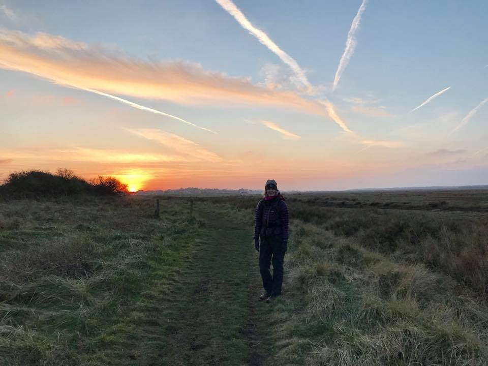
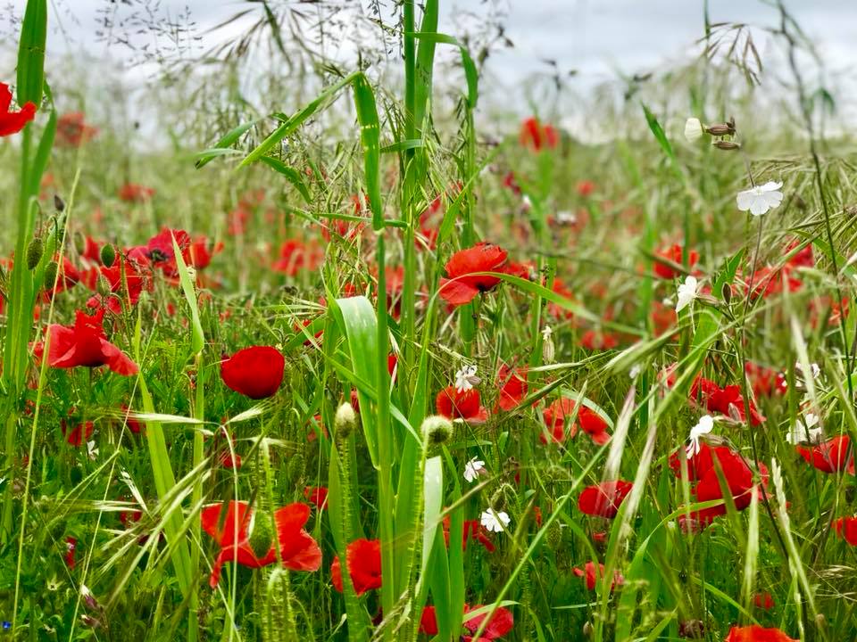
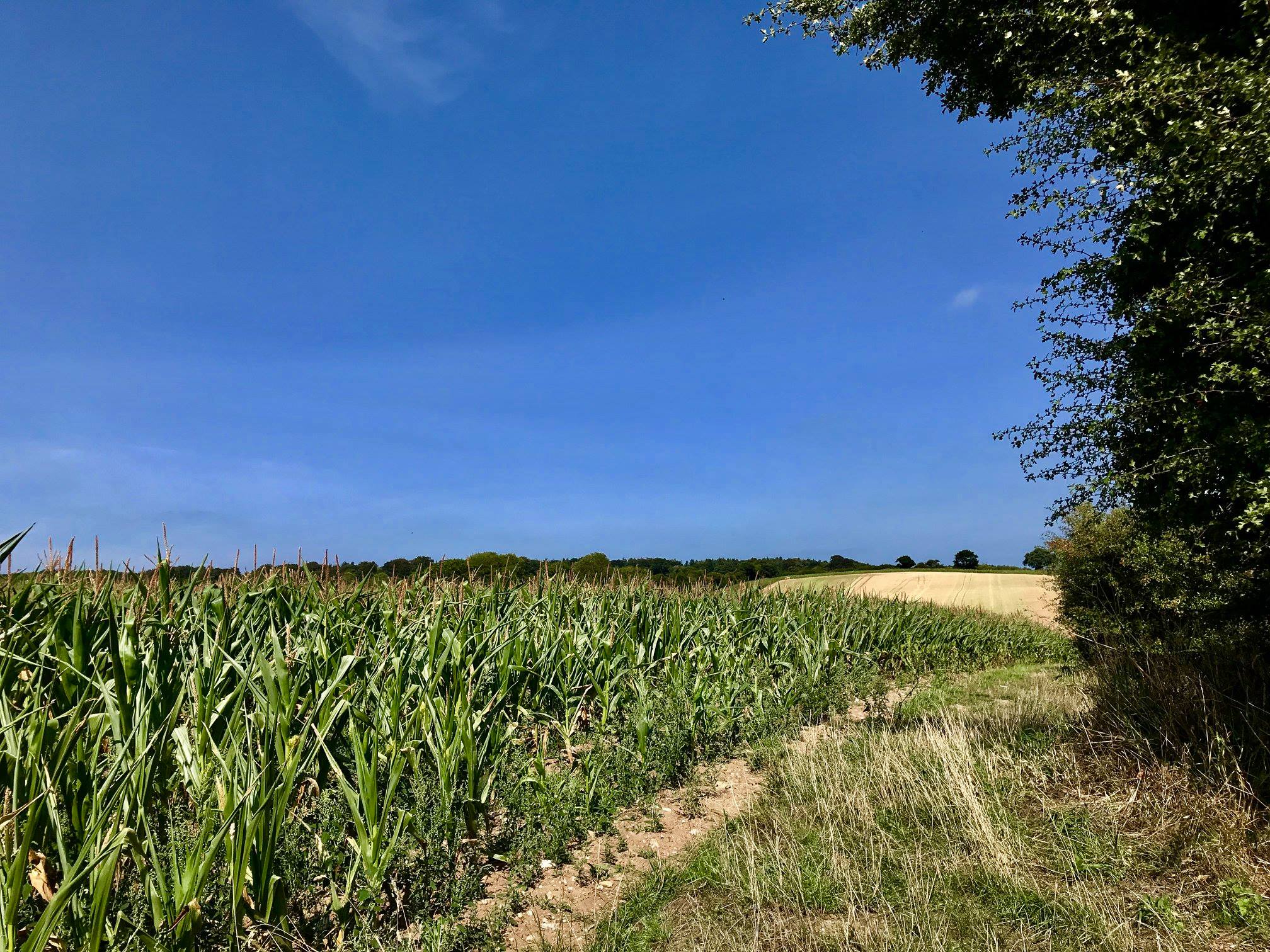
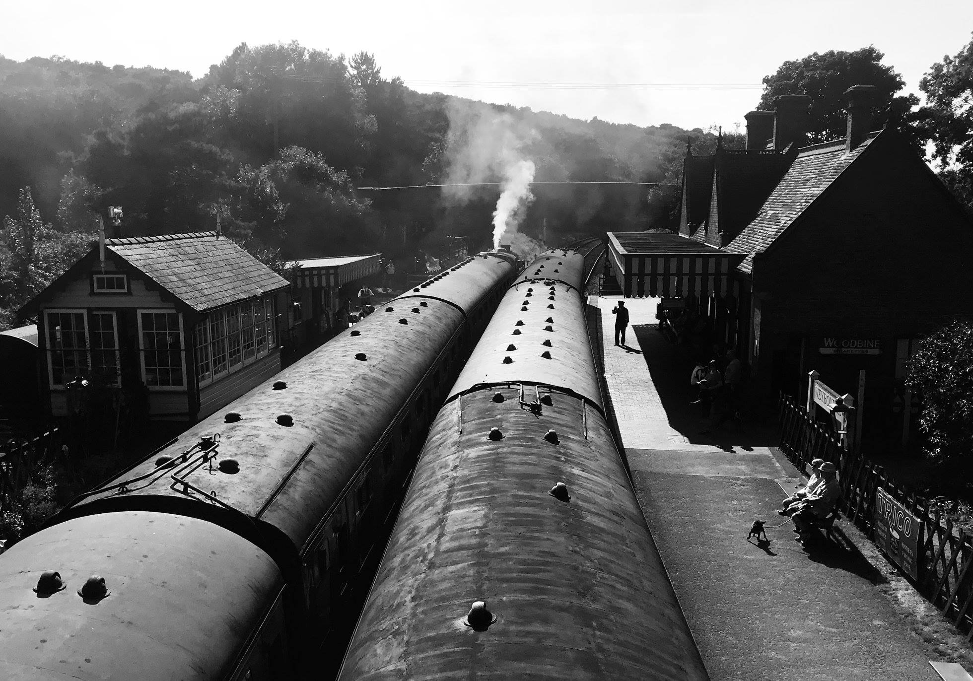
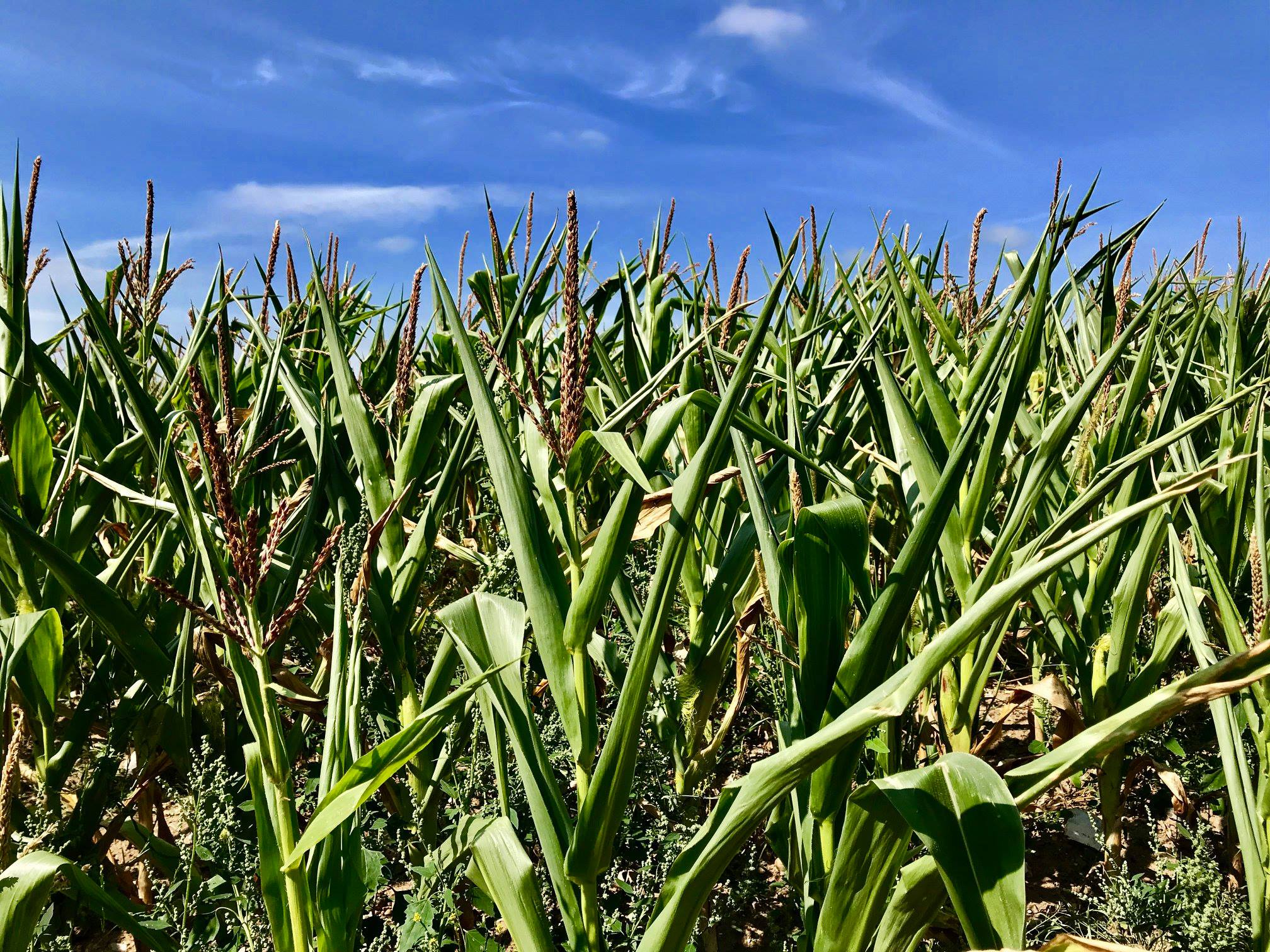
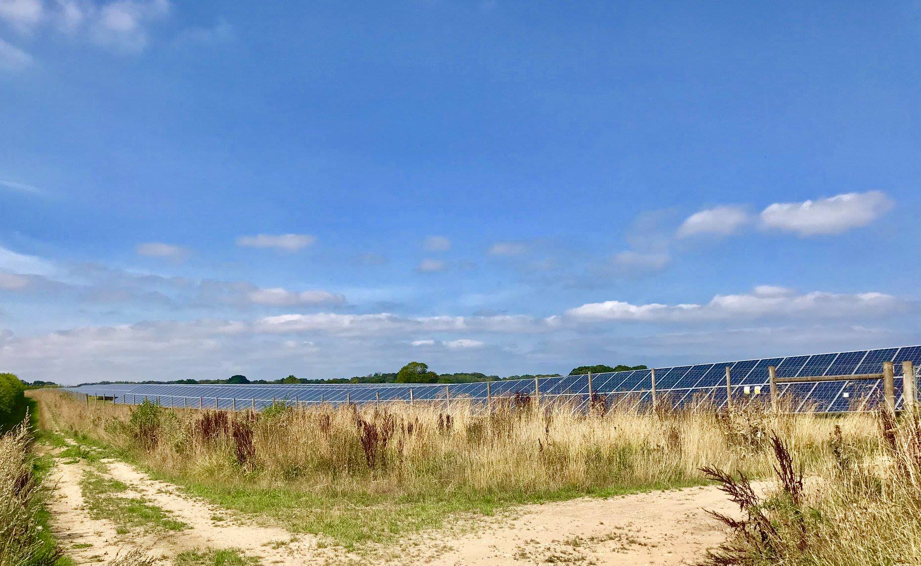
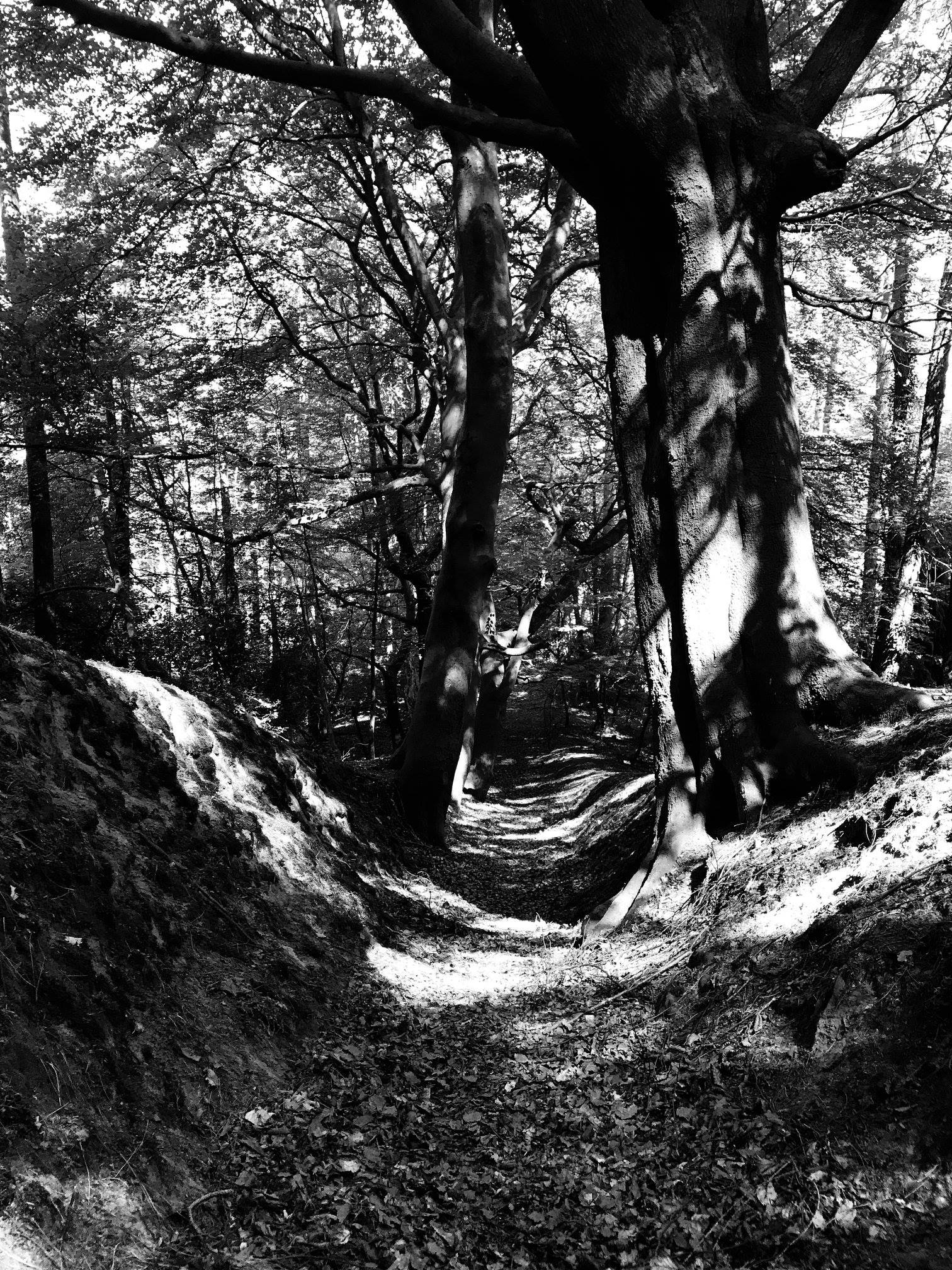
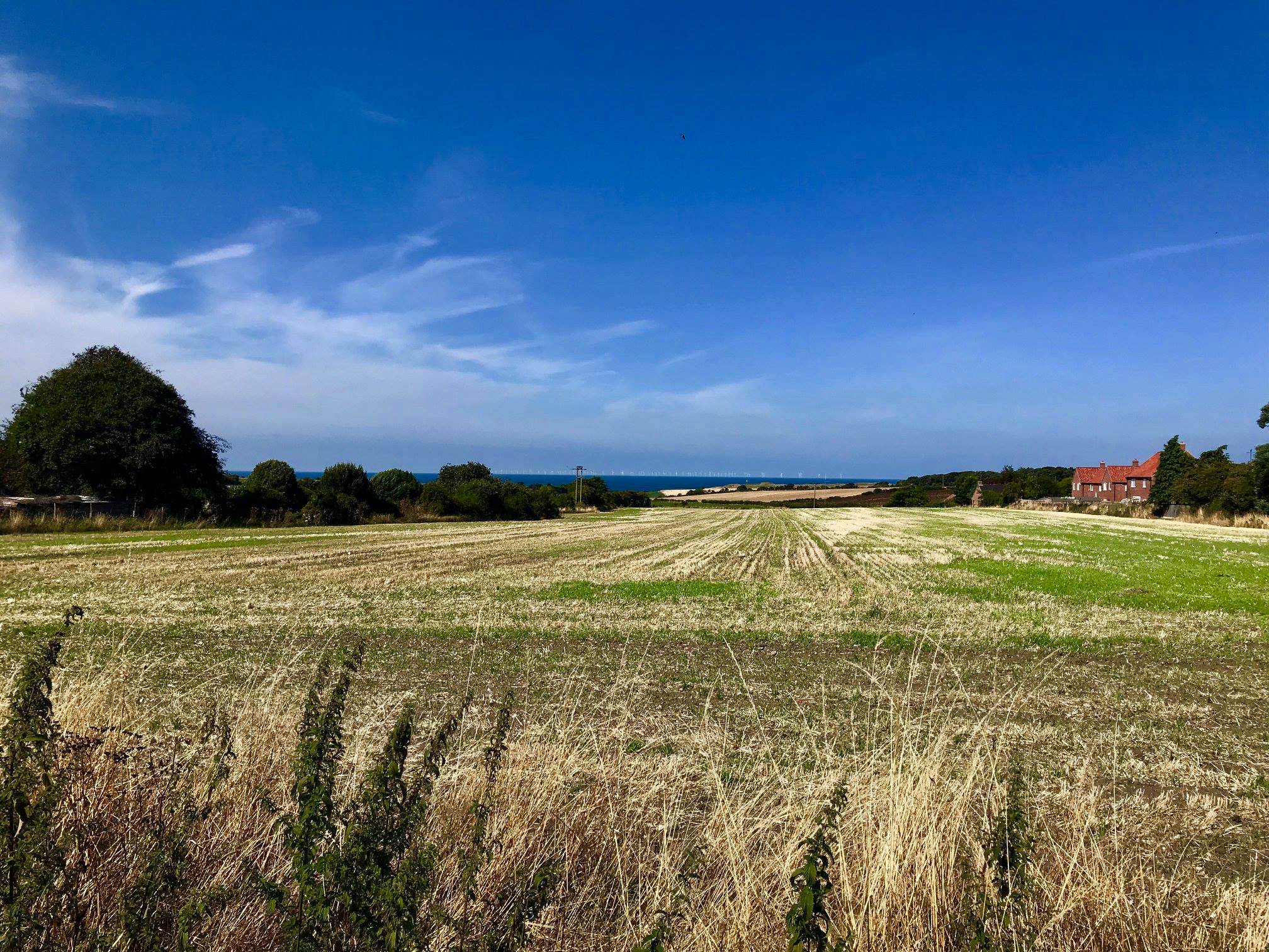
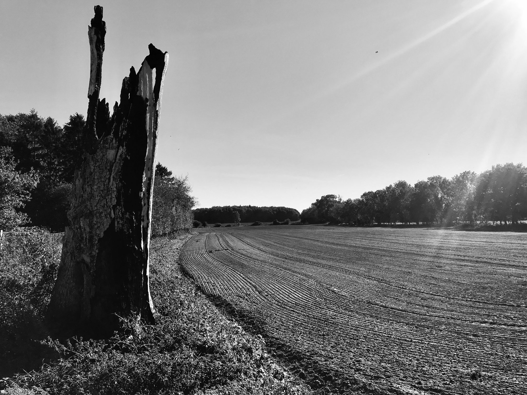
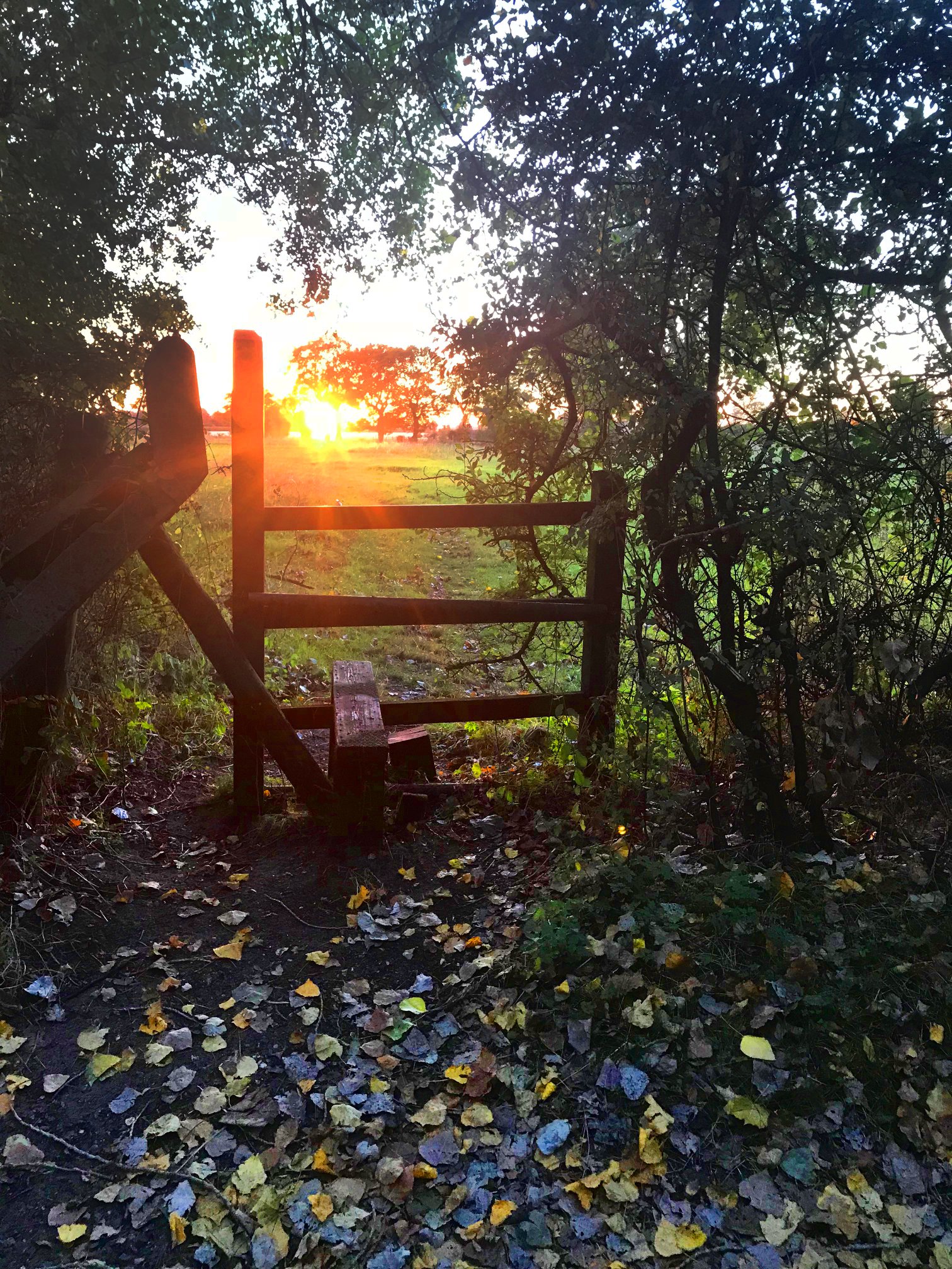
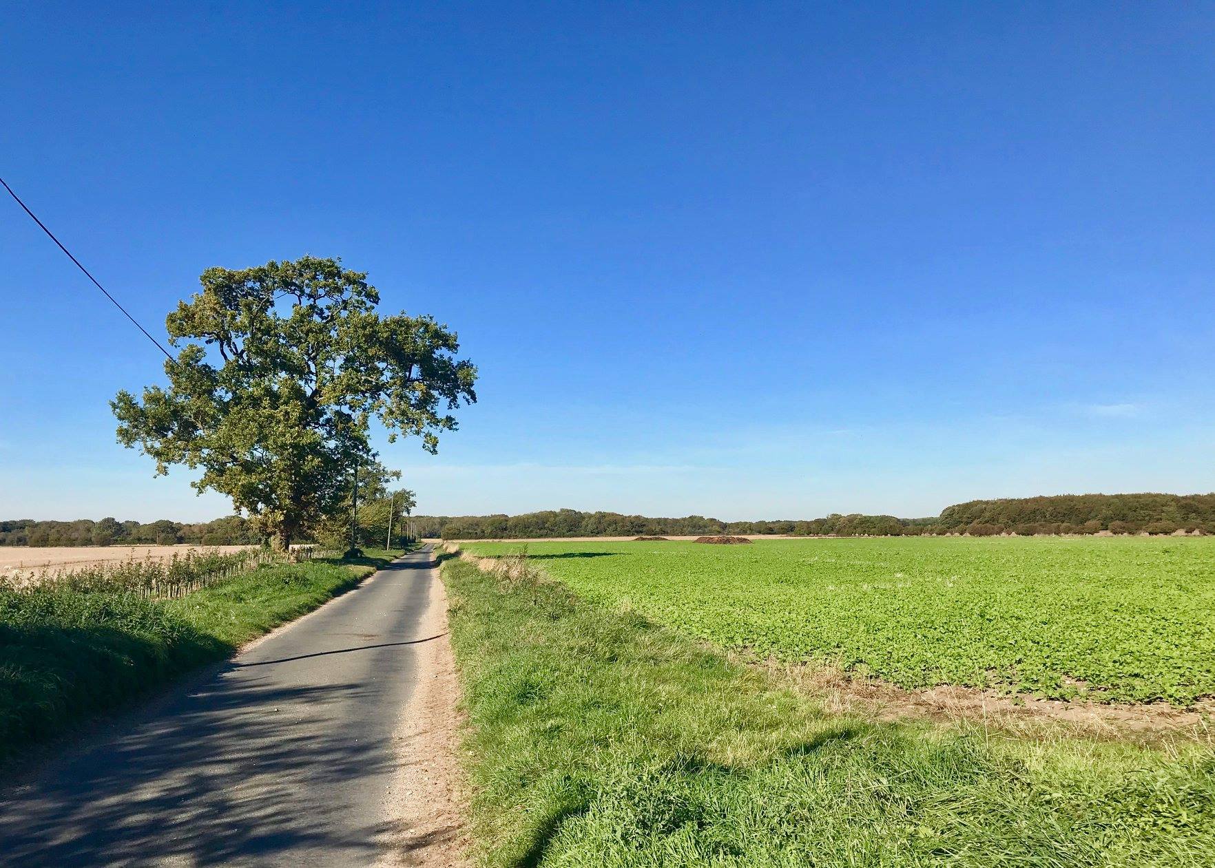
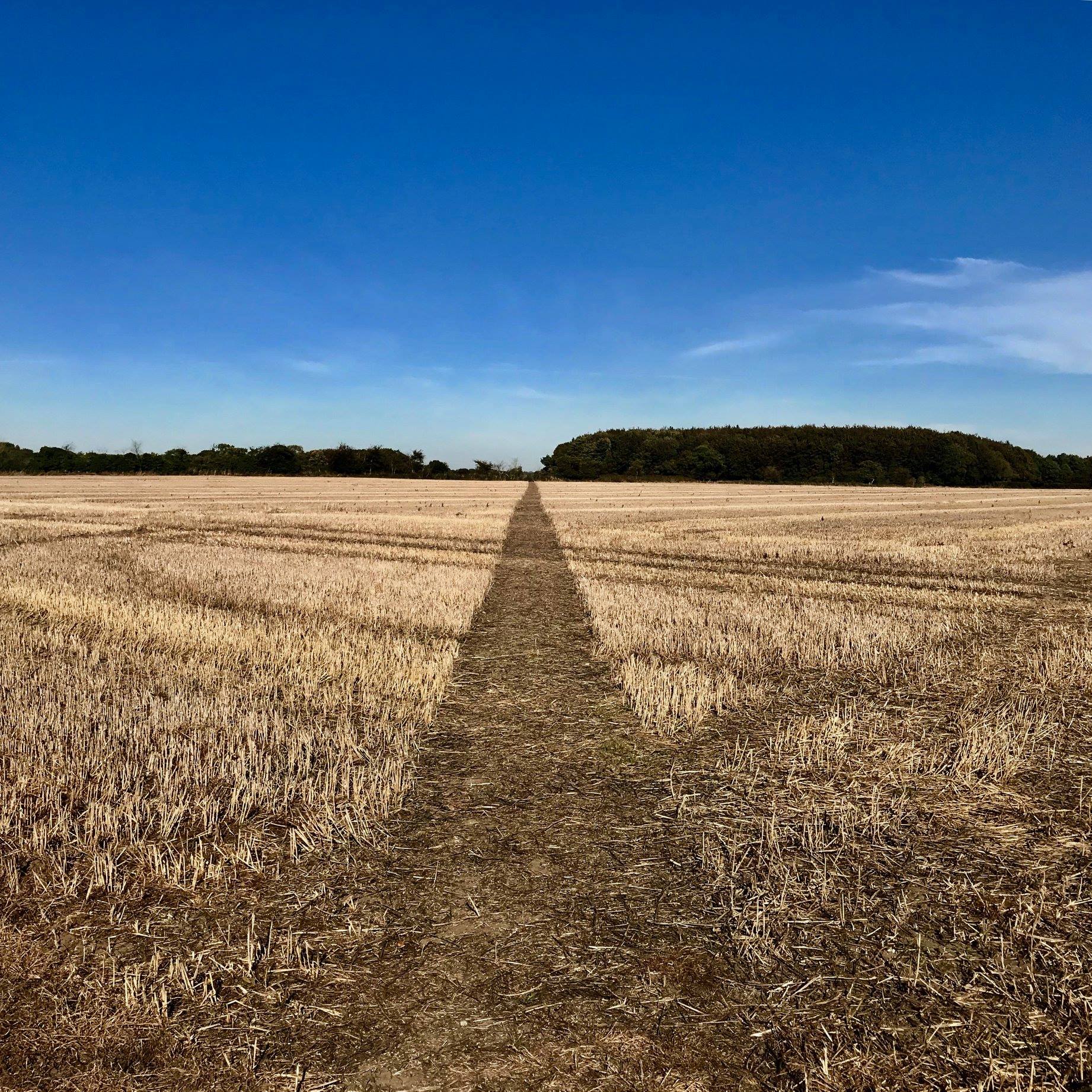
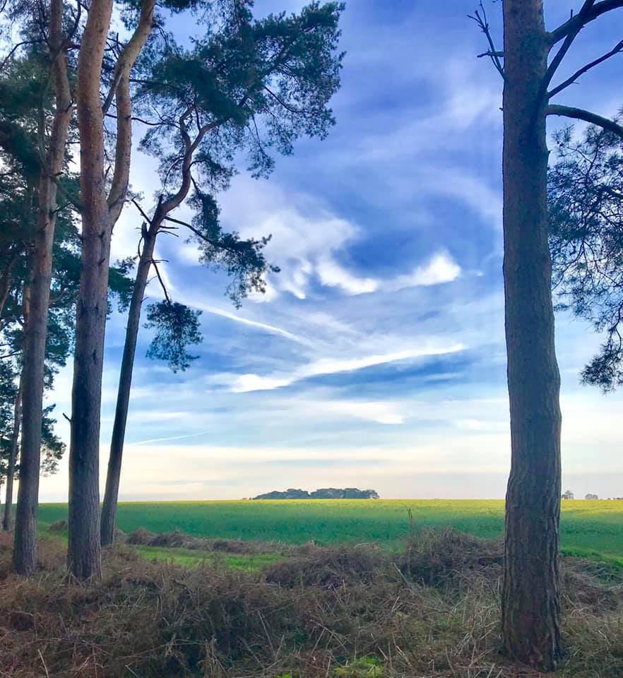
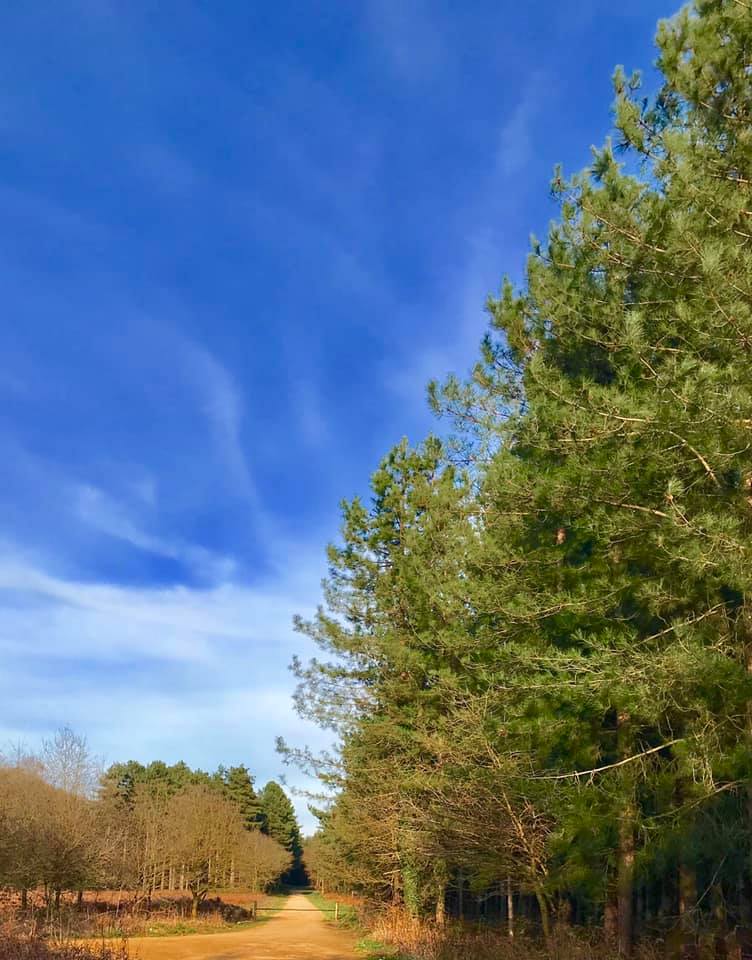
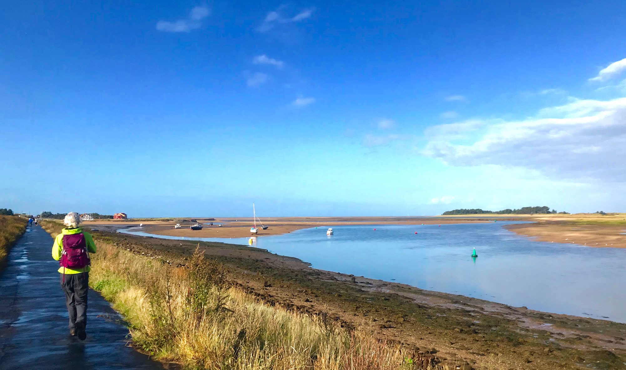
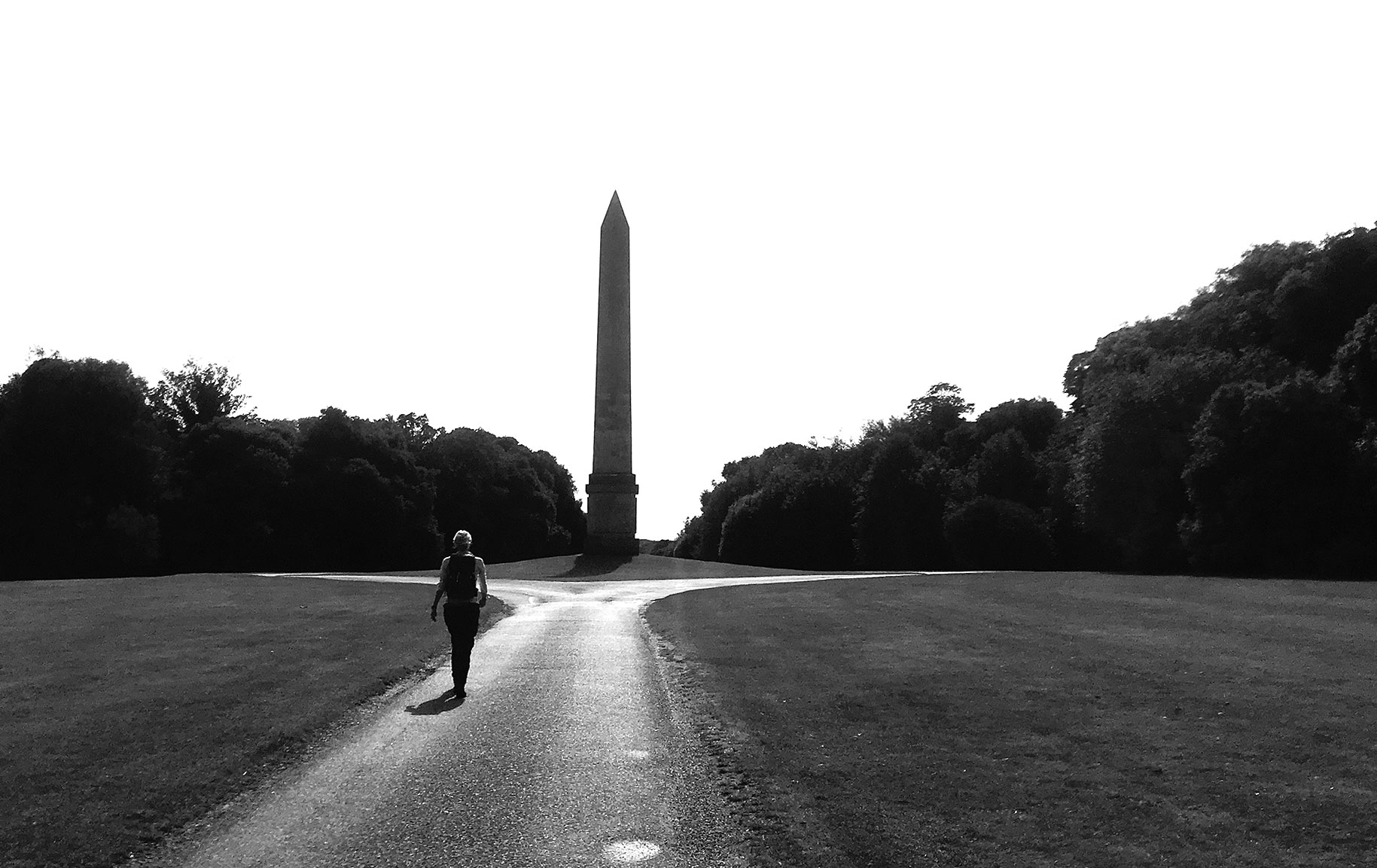
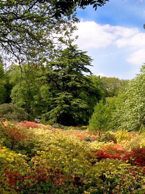
Here’s the more picturesque routes which are the ones we do under normal circumstances (when we’re allowed out :-o). I will also post separate blogs for these as well as lots photos to get you win the mood for a nice long walk 🙂
NOTE: I have added some links in haste, aware that they may be very useful to lots of folks during lockdown… PLEASE DON’T HESITATE to tell me if there are errors or faulty links etc :-). Catherine and I have walked all of these except one or two which I’ve planned to do very soon – marked with *. Some are ‘drawn’ on the map using OS Maps and others are ‘recorded’ as walked (these are obvious by the number of ‘points enroute’ but I’m confident you will enjoy any of them whatever the weather!
Keep watching as I will add new walks on a regular basis.
West Acre, Gayton Thorpe and Peddars Way 15.3 Miles
11 Miles around West Acre West Lexham
16 Miles around the Nar Valley, Narborough and West Acre *
8.2 Miles around the 3 ‘Acres’
12.4 Miles around West Acre, Narborough and Castle Acre
Deepdale – Brancaster 9.5 Miles
Shouldham, Setch and Pentney 14 Miles
Castle Rising, Hillington and Roydon 10 Miles
Congham, Grimston Little Massingham 7.8 Miles
Castle Acre – West Lexham 7.5 Miles
Castle Acre, Newton 8.3. Miles
Wretton – Stoke Ferry 5.7 Miles
Sandringham – Dersingham Bog 5.4 Miles
Whissonsett – Colkirk 6.75 Miles


