
A year in the planning and four days to walk it… sounds easy…
Planning this hike seemed a simple proposition at first but I quickly realised that it was a ‘tad’ more complicated. I guess anyone who’s ever plotted a route will realise the challenges. Finding a track on a map is one thing, whether it’s actually ‘walkable’ is another. Although most PRoWs (Public Rights of Way) are passible, sometimes they are not. Difficulties range from simple negligence (the path is overgrown) to downright vandalism (someone has built a house and garden over the path!) or it maybe that the path is so under used that it simply ‘fades’ away.
Linking PRoWs when planning a journey inevitably means using roads or even private lanes and tracks (needless to say I don’t do this :-o). Our way to Norwich from Terrington St Clement started on minor roads (it is possible to find lanes and paths along this part but they are quite difficult and result in a much longer journey time). Another ‘planning challenge’ is to keep the distances (and times) doable. The entire length of this expedition totalled 104 kilometres, so ideally it would be 4 x 26k walks. At the start and end of each section we needed somewhere to sleep and eat (there’s a limit to how many supplies you can carry when travelling on foot). I found this the most demanding proposition. Sometimes there was accommodation but there was no food (dinner?) and when leaving one place to travel to another we needed water and lunch. I think it’s obvious that some change of clothing is also necessary (the details of my packing isn’t going to be shared here :-o). I guess the sections ran along the lines of 18km, 20km, 32km and 34km. I like to steadily increase the distance as personal fitness develops quickly when travelling on foot so it’s easier to spread the load this way (please note the last two were on 9th and 10th August (two of the hottest days in 2022!!)… ‘you cannot plan the weather’ :-}
So… first day was Sunday 7th August. We left our home in Terrington at about 12 noon (one more of our concerns was – if we only walk for 6 or 7 hours what else was there to do??). We really didn’t need to worry. The heat, combined with hotter days made the walking times longer and longer. Add in shower and dinner and inevitably it was time for bed!!
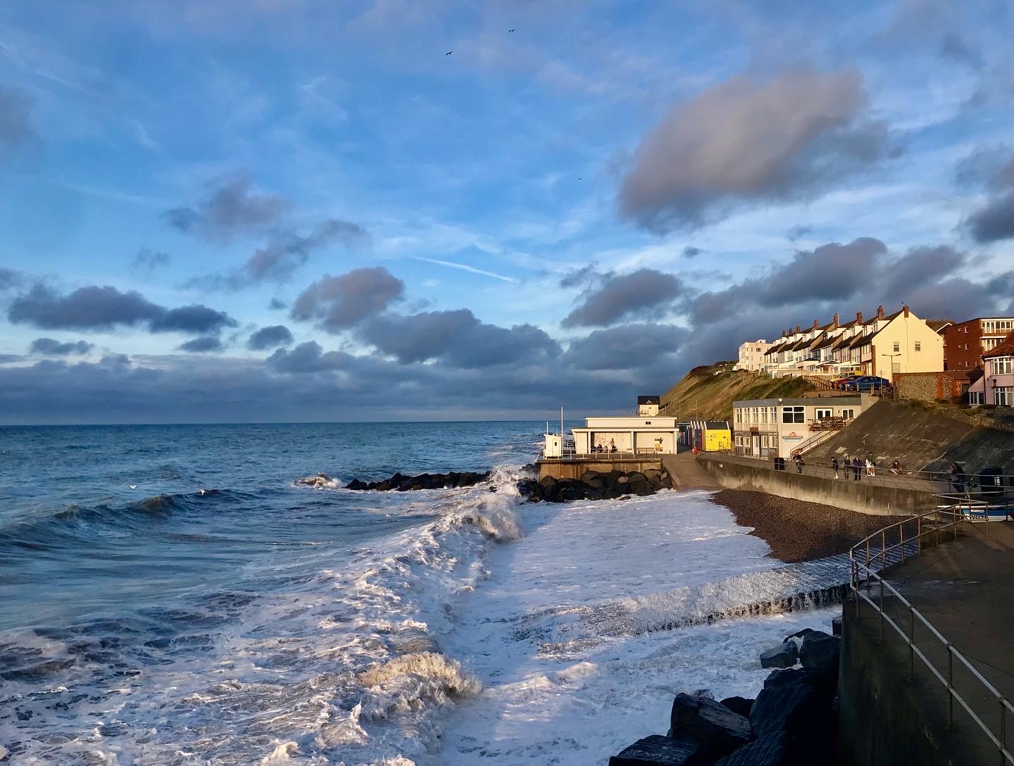
Home to Shouldham was uneventful. It was however, much nicer than I first thought. The route was mostly roads with small diversions on river banks, small parks and PRoWs. We had a delightful meeting with three other hikers on the bank of the River Ouse in Wiggenhall St Peter . They asked “are you guys walking to Cambridge?”…. they were! We said “No, we’re walking to Norwich!” 🙂 Lots of chat about walking, kit and scenery (oh and sticks) then we moved on. Arriving in Shouldham was a delight. I’d plotted paths along a walk we’ve done many, many times. To start on this bit in Wormegay was like coming home! The Chalk and Cheese on Shouldham village green was our first stay. We’ve walked past this place so many times, wondering what it was like… it was fantastic! Quirky and full of antiques. Our hosts Bridget and Andrew were a delight. After a warm welcome to our room (The Workshop – what else ;-o) Bridget joined us in The Kings Arms for a beer. In the morning we were served with a brilliant breakfast in the conservatory.
We set off at about 9am on Monday 8th. The sun was already hot and the predicted distance was considered reasonable. Following a discussion with our hosts at Chalk and Cheese we diverted into RAF Marham (instead of picking up the Nar Valley Way at Pentney). This was purely a ‘shopping trip’ to pick up ‘lunch’ and Tuesday’s breakfast (the next stop over didn’t do breakfast). The military camp environment was predictable. A little bleak and sterile but tidy and orderly (I was a little disappointed that no planes were flying :-(). From here we picked up the Nar Valley Way in Narborough and followed that all the way to Newton by Castle Acre. Our accommodation was The Pig Shed Motel. A newish set of rooms behind the George and Dragon provided a welcome, cool and clean place to stay. Our evening meal was wonderful. Duration Ale and brilliant pub food served us well… and yes, another early night!
I didn’t sleep well as I began to concern myself with the increasing temperatures combined with predicted longer journeys (not to mention a few blisters on Catherine’s feet). Catherine suggested (as did lots of my FB followers) early starts and lots of shady rests. We managed to get away just after 8am while it was still cool (18C?).
The 3rd day was more interesting as it covered parts of Norfolk we hadn’t previously explored. It was however HOT. We did as suggested and managed to find shade along the way (the exposed sunny paths were a little oppressive). A long rest on Gressenhall village green under a large shady Oak Tree was very welcome. I began to think we might even arrive in Swanton Morley too early but another timely drinks stop in ‘Darby’s Pub‘ delayed our arrival at Carricks at Castle Farm… we got there in time for a shower and dinner :-). This last B&B reminded me of scenes in Out of Africa. There was a pith helmet atop the wardrobe in our room where prints and carvings adorned the walls and fireplace. We both wanted to stay in the huge, luxurious shower for longer than it was necessary to get clean but we had traversed a long, hot and dusty road to get there! Dinner was served by John Carrick himself in the beautiful dining room where we were seated at a table easily big enough for ten people! This room was adorned with photos of the owners and other memories which seemed to span more than a century. The view through the French windows onto the lawn and beyond to the River Wensum was breathtaking! Bone china tea cups for the ‘Taylors’ Earl Grey in the morning were arranged on the dresser in our room, and as I woke up to this beautiful setting Catherine reminded me it was, in fact, MY BIRTHDAY!
Leaving Carricks B&B wasn’t a wrench though. It is situated on the Wensum Way, so straight out of their door, we were immediately immersed in beautiful Norfolk countryside with the River Wensum stretching out before us. We followed the river for a couple of kilometres then turned south along Penny Spot Beck… beautiful!
This was day 4 and probably the hottest and longest trek. We wished for shade and got it in ‘tree loads’. Blisters were a bit of a problem (Catherine would probably tell you ‘worse’) but the views were stunning, weather fine (and sweltering) and the planned route – perfect :-).
We walked (and limped) along miles of exposed dusty tracks until we reached Ringland, then there was a 2-3 kilometre stretch of huge shady trees along the edge of Blackbeck Plantation… an extremely welcome respite from the scorching sun!
We joined Marriots Way just to the east of Costessey. This was the most amazing conclusion to the walk. Marriott’s Way is a 26 mile footpath, bridleway and cycle route, which follows the routes of two disused railway lines, and runs between the historic market town of Aylsham and the city of Norwich… perfect! As it nears the city it doesn’t really change, in fact it seems to become more ‘rural’ the closer it gets to the urban centre. I thought the track would emerge into suburbia or an industrial landscape but it weaves, ducks and dives around the infrastructure so that you do not notice Norwich (in fact we found it very difficult to document – photograph, the arrival), hence photos of graffiti and one of me actually pointing to a map sign which says ‘YOU ARE HERE’! Indeed we were. We made it.


